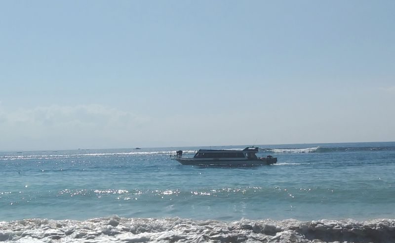
Jabar Ekspres – The Meteorology, Climatology and Geophysics Agency (BMKG) Region III Denpasar asked fishermen and marine tourism players to be aware of the potential for sea wave heights in southern Bali waters to reach up to four meters, estimated on June 22-23, 2023.
“Fishermen and marine tourism players should be aware of the potential wind speed and sea wave height,” said BMKG Region III Denpasar Head Cahyo Nugroho in Denpasar on Thursday.
The wind speed in the waters is estimated to be up to 20 knots or 37 kilometers per hour moving from the east-southeast.
The southern waters of Bali are bordered by the Indian Ocean which is one of the locations for marine tourism and fishermen going to sea.
Meanwhile, other waters in Bali are estimated to have sea wave heights of up to 2.5 meters, namely in the southern Bali Strait, Badung Strait and southern Lombok Strait.
READ MORE: Mentawai Islands Earthquake Triggered by Indo-Australian Plate
The wind speed in the region is estimated to be up to 15 knots or about 27 kilometers per hour moving from the east-southeast.
The Bali Strait is a Bali-Java ferry crossing route and the Lombok Strait is a Bali-Lombok crossing route and fishing route as well as a crossing route for ships heading to eastern Indonesia sailing from Benoa Harbor, Denpasar.
Meanwhile, the Badung Strait is a crossing route from Sanur Denpasar to Nusa Penida Island in Klungkung Regency, a marine tourism area mainly in the Nusa Dua area, Tanjung Benoa, and a fishing route.
BMKG mentioned wind and sea wave conditions that pose a high risk to sailing safety, namely fishing boats if the wind speed is more than 15 knots and the wave height is above 1.25 meters.
Barges if the wind speed is more than 16 knots and the wave height is above 1.5 meters, ferries if the wind speed is more than 21 knots and the wave height is above 2.5 meters.


